If you could cut 20 minutes from your daily commute and have groceries, parks, and cafés within a five‑minute stroll, how much would that be worth to you? In Boston, many buyers and renters place a real premium on that kind of convenience, and the market often reflects it. You want a home that fits your life and holds value over time. In this guide, you’ll learn how MBTA access and walkability influence prices and rents, what the research actually says, and how to weigh trade‑offs with a practical checklist tailored to Boston. Let’s dive in.

Why transit and walkability matter
Living near reliable transit and in a walkable area saves you time and money. City research links higher walkability with stronger demand in Boston’s core neighborhoods, where daily needs cluster close together and many blocks score as “Walker’s Paradise.” You get easier access to jobs and amenities, which shows up in both willingness to pay and rentability for owners and investors. You also lower transportation costs when you can rely on the T, biking, and walking instead of a second car, which supports higher housing budgets near stations and walkable corridors. The City’s Health of Boston report highlights these patterns.
A second driver is permanence. Fixed‑guideway systems like subways and light rail feel more durable than bus routes, which attracts development and sustained investment around stations. Recent meta‑analyses find a positive relationship between proximity to rail and home values, with the size of the uplift varying by city, neighborhood, and service quality. The most rigorous reviews recommend local, property‑level analysis before you anchor to any single estimate, but the direction is often positive near reliable rail. You can review a recent meta‑analysis of rail impacts on property values from the London School of Economics.
Finally, walkability provides daily quality‑of‑life gains that many buyers will pay for. Being able to reach a grocery store, park, or café within a few blocks changes how you live. It reduces friction, helps you stay car‑light, and expands your options for errands and leisure. These benefits compound when walkability pairs with a one‑seat ride to major job centers.
What the research says about value
Several studies link higher Walk Score and better transit access with higher home prices in dense metros. Analyses from City Observatory find measurable impacts per Walk or Transit Score point, with effects that vary by region and modeling approach. Boston’s density and transit network often produce stronger‑than‑average capitalization of these features, which is consistent with what you see anecdotally in the city’s core. For a helpful overview, see City Observatory’s summary of transit and home values.
Academic work points to ranges, not absolutes. Meta‑analyses show uplift around new or upgraded rail lines can span a few percentage points to double digits for properties closest to stations, but the results depend on timing, housing type, and the reliability and frequency of service. The National Academies also document how lower transportation costs in transit‑rich areas raise households’ ability to pay for nearby housing, strengthening the market signal in walkable places. You can dig into the mechanism in this National Academies chapter on location and transportation costs.
MBTA and GLX: real examples
Boston’s MBTA network mixes rapid transit, commuter rail, the Silver Line, buses, and ferries. Recent projects, including the Green Line Extension (GLX), help illustrate how new service can shape perceptions and activity. When the GLX’s Union Square branch opened in March 2022, local reporting captured a surge of interest from renters and investors near new stations, reflecting how added access can shift neighborhood dynamics. You can see the on‑the‑ground reaction in Boston Magazine’s coverage of GLX’s opening day.
Service quality still matters. Speed restrictions, slow zones, and maintenance issues can mute perceived benefits, especially for daily commuters who value reliability. Recent coverage of GLX slow zones shows how line performance and rider experience quickly shape local sentiment, which can influence near‑term pricing power. For context on reliability concerns, read the Boston Globe’s reporting on new Green Line slow zones.

Last‑mile options expand access
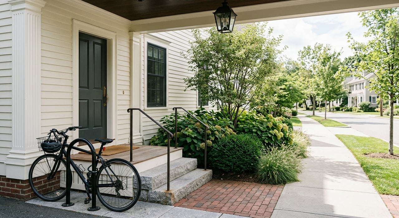
Micromobility fills the gap between your front door and the station platform. Bluebikes stations, protected bike lanes, and multi‑use paths expand the practical radius of a T stop beyond a 10 to 15 minute walk. That means a condo that is three‑quarters of a mile from a stop can live “close” if a Bluebikes dock and safe bike route connect you to reliable rail. In Boston, bikeshare has grown quickly, with rising trips and station counts that support car‑light living. You can view system growth and recent ridership trends on the Bluebikes data page.
Neighborhood snapshots
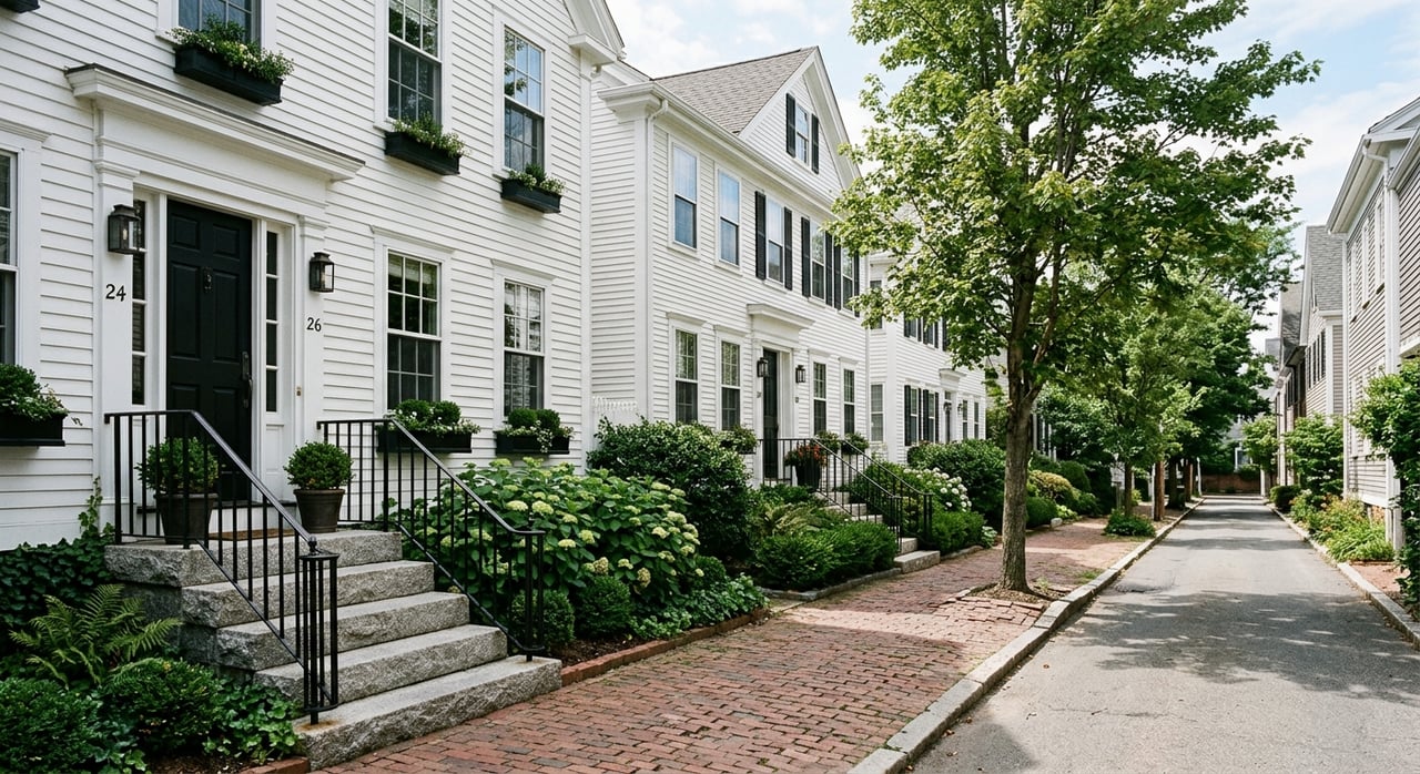
- Downtown, Back Bay, and the North End: Exceptional walk and transit access, with many blocks scoring near the top on city metrics. These neighborhoods command among the highest per‑square‑foot prices and rents, reflecting strong demand for a car‑light lifestyle. See city walkability and neighborhood comparisons in the Health of Boston report.
- Fenway and Longwood: Multiple transit options and major employers nearby support a deep rental market. Rent levels generally track strong connectivity, which is helpful for investors evaluating rentability. For renter‑focused neighborhood context, review Apartment List’s Boston neighborhood guide.
- South End and Chinatown: High amenity density and strong walkability keep demand steady for both buyers and renters. Inventory mix and building type vary block to block, so compare per‑square‑foot pricing carefully.
- Seaport and Fort Point: Newer development and high walkability meet elevated long‑term flood and storm‑surge risk. Factor resilience, insurance, and potential retrofit needs into your valuation and exit plan. For a current overview of coastal protections and risks, see the Globe’s piece on Boston’s coastal resilience efforts.
- Allston and Brighton: Strong rental demand linked to nearby campuses and good transit corridors, with walkability that varies by block. Weigh unit size against access and consider how planned transportation upgrades may shift future demand.
For a quick view of citywide patterns, scan Walk Score’s Boston page and compare how scores vary from the core to outer neighborhoods.

Your Boston checklist
Use this checklist to compare specific homes and investment options across Boston:
- Station distance and walk time
- Count minutes, not miles. A half‑mile is roughly a 10 to 15 minute walk in city conditions. Last‑mile options like Bluebikes can effectively shrink that distance. Review network growth on the Bluebikes data page.
- Frequency and reliability
- Prioritize lines with frequent peak service if you commute daily. Reliability issues can reduce what buyers will pay, as recent Green Line slow zone coverage shows.
- Directness and transfers
- A one‑seat ride or a quick, predictable transfer to key job centers often beats being closer to a less direct line. Use trip planners to test AM and PM scenarios.
- Last‑mile and micro‑mobility
- Confirm nearby Bluebikes docks, protected bike lanes, and paths. These features broaden renter appeal and support car‑light living across more addresses.
- Neighborhood amenities and Walk Score
- Map out grocery stores, parks, and cafés you will use weekly. The city’s report connects higher walkability with stronger demand in Boston’s core, so weigh per‑square‑foot price against daily convenience using the Health of Boston report.
- Climate and flood exposure
- For waterfront or low‑lying areas, check resilience efforts, insurance, and elevation. Long‑term risk can shape future resale and carrying costs, as noted in the Globe’s review of coastal protections.
- Future projects and policy
- Track planned transit upgrades and bike network expansions. Anticipation effects can show up before projects open, but outcomes vary, so temper expectations with on‑the‑ground progress.
- Rentability and investor math
- For income properties, use local rent comps and vacancy patterns to test cap rates. Neighborhoods with strong transit and walkability often lease faster, though units can trade off on size. For renter‑market context, scan Apartment List’s guide.
- Equity and displacement context
- Recognize that big transit investments can change neighborhood dynamics. Academic reviews highlight mixed outcomes, so factor community context into long‑term plans.
- Time horizon and durability
- Shorter holds are more sensitive to near‑term service quality and supply swings. Longer horizons should weigh infrastructure permanence and resilience, consistent with meta‑analytic guidance on local variation.
Plan your move with confidence
Transit access and walkability can add real, lasting value in Boston, but the size of the effect depends on service quality, neighborhood context, and your time horizon. Use the checklist above to compare specific addresses apples to apples, and balance convenience with risk factors like long‑term flood exposure. If you want help quantifying these trade‑offs, pairing neighborhood insight with appraisal‑level analysis can save you time and money.
If you are weighing options across Jamaica Plain, the core, or the North Shore, our team can help you model the numbers and match them with your goals. As a boutique, appraisal‑informed brokerage with deep investor services, we guide buyers, sellers, and landlords from valuation through closing and beyond. Ready to make a confident move? Connect with Prism Real Estate Group for clear advice and a plan that fits your life.

FAQs
Do Boston homes near MBTA stations sell for more?
- Research often finds a positive relationship between proximity to reliable rail and higher values, but the size of the premium varies by neighborhood, housing type, and service quality, as shown in meta‑analyses of rail impacts.
How close is considered “near transit” in Boston?
- A half‑mile is a common baseline, roughly a 10 to 15 minute walk, and last‑mile options like Bluebikes can make slightly farther homes live functionally closer to stations.
Does walkability measurably affect Boston pricing?
- City data link higher walkability with stronger demand and higher per‑square‑foot prices in core neighborhoods, consistent with broader findings on transit and home values.
How do reliability issues like GLX slow zones impact value?
- Service quality shapes buyer and renter perceptions, so persistent slow zones or diversions can reduce the premium people pay for station‑adjacent homes, as illustrated in recent coverage of GLX reliability.
What should waterfront buyers weigh beyond walkability and transit?
- Consider long‑term flood and storm‑surge exposure, insurance, and potential retrofit needs, since those factors can influence resale and carrying costs even in highly walkable, well‑connected areas; see the Globe’s review of coastal protections.
It's your vision. Let's make it reality.