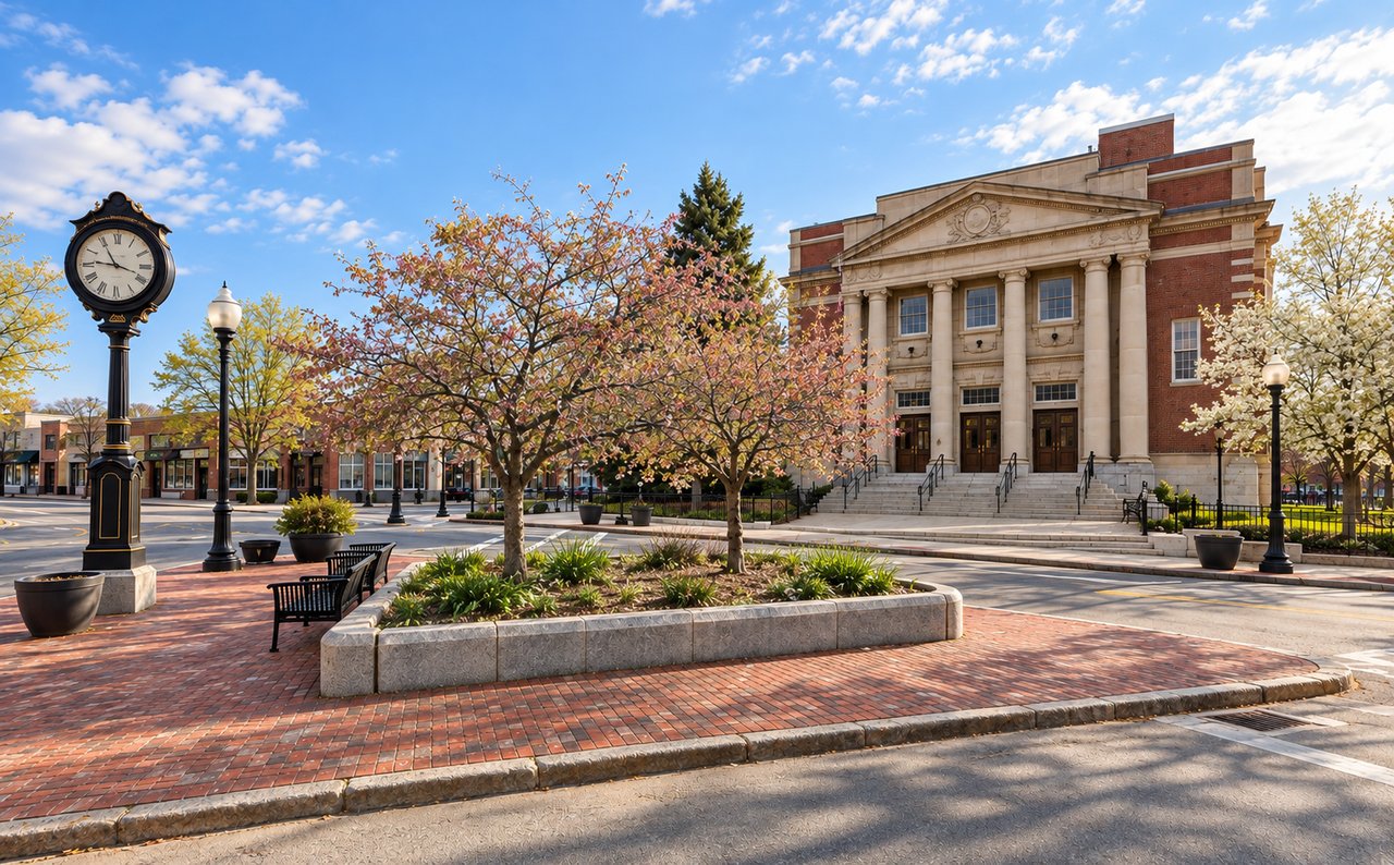
Boston’s latest draft zoning map for Cleary Square proposes up to four stories on the highlighted River Street parcels and up to six stories on parcels along Hyde Park Avenue between Winthrop Street and Everett Street. The Boston Planning Department released its revised draft plan, zoning map, and zoning text amendment on October 8, 2026, following public comments on earlier versions. The changes reverse the proposed zoning assignments for these two areas.
The plan and map have not been adopted for Cleary Square. The latest documents are available on the City of Boston’s Cleary Square planning page.
Three Drafts, Two Changed Districts
The proposed zoning for these areas has changed across three versions of the map.
Draft date | River Street parcels | Hyde Park Avenue, Winthrop to Everett |
|---|---|---|
March 17, 2026 | Proposed S4 zoning, allowing up to seven stories | Not separately identified in the initial reporting |
June 17, 2026 | S3-6, allowing up to six stories | SC, allowing up to four stories |
October 8, 2026 | Changed from S3-6 to SC | Changed from SC to S3-6 |
The March proposal drew attention for its potential to accommodate larger, primarily residential development near the intersection of River Street and Hyde Park Avenue. The June revision reduced the proposed height on the River Street parcels and placed the four-story SC district on the specified Hyde Park Avenue stretch. The October draft reverses those assignments. River Street would move to SC, while the Hyde Park Avenue parcels would move to S3-6. The October revisions also add Blake Estates back to the proposed rezoning map. The City updated the plan’s housing estimate in response to the Hyde Park Avenue change and removed text concerning zoning for municipal parking.
What SC and S3-6 Allow
The two districts differ in permitted height and their approach to commercial activity. SC — Shopping and Commercial Nodes SC allows buildings up to four stories and supports a range of commercial uses, including on upper floors. The district is intended for smaller commercial areas where business activity is a central part of the neighborhood. S3-6 — Active Main Street S3-6 allows buildings up to six stories. It supports a mix of commercial and residential uses along main streets and requires active uses on part of the ground floor facing the primary lot frontage. These districts are part of Boston’s Squares + Streets zoning framework.
The City adopted the text amendment creating SC and S3-6 in December 2025, following a zoning petition and feedback from Hyde Park residents. That action established the district rules; it did not adopt the proposed Cleary Square map. The City’s Squares + Streets zoning overview explains the districts and their purpose.
Why the River Street Change Matters
The River Street parcels have been a focus of the Cleary Square planning process because of their location near the intersection of River Street and Hyde Park Avenue. Earlier planning discussions considered the area’s potential for substantial housing development under the original, taller zoning proposal. That potential was tied to an earlier version of the map and should not be treated as a projection for the October draft. Under the latest proposal, the River Street parcels would be in SC, allowing up to four stories. The change reduces the proposed maximum height from the six-story S3-6 district shown on the June map.
The revised designation does not establish whether or when redevelopment will occur, or what a future building would contain. It sets proposed zoning rules; any project would still need to meet the applicable requirements and go through the relevant review process.
Where the Approval Process Stands
As of October 14, 2026, the City’s Cleary Square materials identify the October documents as revised drafts. The project page does not list an adoption date for the revised plan and zoning map. The next step is to follow the City’s updates and confirm when the proposal advances through the applicable review and approval process. Until then, the October map should be treated as a proposal, not the final zoning designation for an individual parcel.
What Nearby Property Owners Should Know
For buyers and homeowners near River Street or Hyde Park Avenue, the latest map is worth reviewing because the proposed height limits differ from the June draft. Before drawing conclusions about a specific property, check its location on the latest map and review the associated zoning text. A proposed district does not guarantee that a building at the maximum permitted height can be constructed, and the zoning of a neighboring parcel does not translate directly into a predictable change in home value.
PRISM Real Estate Group follows planning and development changes across Boston’s neighborhoods. If you are considering a purchase or sale near Cleary Square, our team can help you understand the local market and the property-specific questions to investigate.
This article is for general informational purposes and is not legal, tax, or financial advice. Consult a qualified professional about a specific property or proposed development.